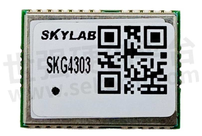
SKYLAB SKG804M: The Beidou Satellite Communication Module is Compact, Convenient, and Embedded

The Beidou Satellite Navigation System is a global satellite navigation system independently developed by China, which can provide high-precision and reliable positioning, navigation, and timing services for various users worldwide. The SKG804M series module is a BeiDou navigation and positioning dedicated product that only receives BeiDou navigation satellite signals (including BeiDou-2 and BeiDou-3), and does not receive GPS, GLONASS, GALILEO and other satellite signals.

SKG804M Beidou satellite communication module Features
◆ Rich product configuration, supporting BDS positioning or BDS+INS combination navigation positioning
◆ Support the Beidou-2 and Beidou-3 signal systems
◆ Can support built-in 6D IMU (3-axis accelerometer and 3-axis gyroscope)
◆ Can support customized access to other sensors for multi-source fusion
◆ Support A-BDS
Inertial navigation supports free installation mode
◆ Supports dual serial ports
Function Description
1. Power supply
The SKG804M series Beidou positioning module has two power pins: the main power supply VDD and the backup power supply AVDD-BAK.
2. Power on timing
Incorrect power on timing may cause permanent damage to the module, so it is necessary to design according to the power on timing requirements. At the same time, in order to meet the power on timing requirements, it is necessary to connect the external reset pin (PRRSTX) to the main control device.
3. Antenna
The SKG804M series Beidou positioning module has built-in LNA and SAW. When using an active antenna, it is recommended that the antenna gain be less than 30dB and the noise coefficient be less than 1.5dB.
Purpose
SKG804M combines BeiDou positioning technology and inertial navigation technology, and can continuously output positioning data in environments with poor or even lost BeiDou signal quality, providing continuous and accurate positioning services for navigation and positioning applications. It is widely used in vehicle navigation, two wheeled electric vehicles, intelligent cabins, T-BOX, locators, logistics tracking and other applications.
- +1 Like
- Add to Favorites
Recommend
- What are the Functions of the Smart Construction Site Personnel Positioning System?
- How To Choose The Smart Home IoT WiFi Module?
- SKYLAB and MMC developed Long-endurance UAV Power Line Patrol Automatic Solution
- SKYLAB provides UAV Petrochemical Pipeline Inspection Solution
- SKYLAB launched a GPS positioning system solution for Logistics truck GPS Positioning Tracking Application
- SKYLAB GPS positioning technology help people solve the problem of lost pets and find their pets faster,more conveniently
- SKYLAB‘s Parking Lot Bluetooth Positioning and Navigation Solution
- Skylab lanuched a 1.8μA Ultra Low Energy Bluetooth Module SKB378 for Smart Home
This document is provided by Sekorm Platform for VIP exclusive service. The copyright is owned by Sekorm. Without authorization, any medias, websites or individual are not allowed to reprint. When authorizing the reprint, the link of www.sekorm.com must be indicated.


