How Does the GPS Module of SPI Interface Achieve Positioning?

The GPS module is composed of a GPS receiver, antenna, and related circuits. It can accurately locate the specific geographical location of the terminal through satellite signals, providing it with information such as position, speed, time, and direction. GPS modules typically communicate with devices through serial or USB interfaces and provide location data in NMEA format.
Excellent Performance of SKYLAB GPS Module
The SKYLAB module, with its excellent performance, can provide high sensitivity, high precision, and low-cost positioning, navigation and other solutions for the manufacturing of positioning terminal products such as car mounted and portable handheld devices, meeting the strict requirements of professional positioning and personal consumption needs.
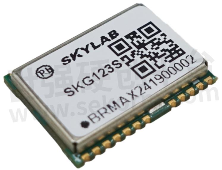
GPS Module SKG123S Product Features
1. Compact in size, SPI interface compatible with international mainstream navigation and positioning modules on the market, using SMD pads, supporting standard retrieval and reflow soldering.
2. Can track 75 L1 satellites and 60 L5 satellites.
3. L1+L5 dual band, L1 supports GPS, GLO, GAL, BDS, QZSS, SBAS systems, L5 supports GPS, GAL, BDS, QZSS systems.
4. Support SBAS (WAAS, EGNOS, MSAS, GAGAN).
5. Supports Power Saving Mode: Sleep mode, RTC mode, Periodic mode, GLP, ULP.
6. Support AGPS: EPO, EASY, NVRAM, hotstill.
The SKG123S module can be widely used in fields such as car navigation, personal navigation devices, car security systems, vehicle monitoring, etc. It still has good positioning accuracy and position effectiveness under weak signals, and complies with ROHS, FCC, CE standards.
How GPS Modules Achieve Positioning
The GPS module achieves positioning by receiving signals from satellites. The GPS system consists of multiple satellites that orbit the Earth in space. The GPS module calculates its distance from each satellite by receiving signals from these satellites, and calculates its position based on these distances.
Specifically, the GPS module obtains satellite position and time information by receiving signals sent by the satellite. Then, the GPS module calculates its position by calculating its distance from each satellite and using the trilateral measurement method. Trilateral measurement method is a method of determining the position of an unknown point by measuring the distance from three known points to the unknown point.
In the GPS system, the position of the satellite is known, and the GPS module can calculate its distance from each satellite by receiving signals sent by the satellite. By using the trilateral measurement method, the GPS module can calculate its own position.
- +1 Like
- Add to Favorites
Recommend
- SKYLAB launches higher-performance RTK positioning modules which can be used in vehicle navigation
- How To Choose The Smart Home IoT WiFi Module?
- RTK Positioning Module SKG12UR in the Application of Internet of Vehicles, Tracking Sensitivity up to -167dBm
- SKYLAB and MMC developed Long-endurance UAV Power Line Patrol Automatic Solution
- SKYLAB provides UAV Petrochemical Pipeline Inspection Solution
- SKYLAB launched a GPS positioning system solution for Logistics truck GPS Positioning Tracking Application
- SKYLAB GPS positioning technology help people solve the problem of lost pets and find their pets faster,more conveniently
- SKYLAB‘s Parking Lot Bluetooth Positioning and Navigation Solution
This document is provided by Sekorm Platform for VIP exclusive service. The copyright is owned by Sekorm. Without authorization, any medias, websites or individual are not allowed to reprint. When authorizing the reprint, the link of www.sekorm.com must be indicated.
Integrated Circuits


Discrete Components


Connectors & Structural Components


Assembly UnitModules & Accessories


Power Supplies & Power Modules


Electronic Materials


Instrumentation & Test Kit


Electrical Tools & Materials


Mechatronics


Processing & Customization